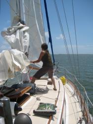
 Our trip from Charleston to Beaufort went as smoothly as hoped. The light winds had allowed the sea state to calm down considerably, though sadly they also required that we motor-sail the entire way. Thunderstorms were visible in the distance throughout the first day, but when night fell we had a beautiful and unhindered view of the stars.
 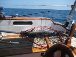 The Milky Way was very pronounced, and I spent some time learning a few constellations. It wasn't until the final few hours approaching Beaufort that enough swell picked up to make the trip a little less comfortable. Regardless, Jamie prepared another fine dinner, cooking part of the sizable King Mackerel that we'd caught earlier in the day.
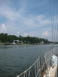 We arrived in Beaufort well after dark, brave enough to do so as our guide books assured us it was the best entrance in North Carolina. Sure enough, the channel was well marked and in spite of the following swells we made an easy entrance. Once inside, however, the channel leading to the city marina forked off from the main channel and thanks to an incoming tide we suddenly found ourselves making eight knots along the dark little river. Jamie slowed us down, steering primarily by the chart plotter, and I positioned myself on the bow to spot markers and any other solid objects that we may have to avoid.
Finally arriving at the City Marina, we were greeted with a narrow channel completely full of anchored boats with no obvious place to set our own hook. We motored around for a little while in the strong current, and finally selected an anchorage on the edge of the channel, as much out of it as we were comfortable going without getting too close to the other boats. Our new Delta anchor set easily, and I set my alarm to go off every two hours having read about and felt the consistently strong currents affecting the area.
Daylight broke and our anchor was still firmly set. I rowed our dinghy into town looking for ice, and a local seeing our boat kindly pointed out that we were anchored in the channel, not in the anchorage. 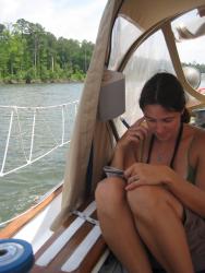 I assured him I was aware, explaining our late arrival. He laughed and informed me that it happens all the time, except that usually people do it without even realizing it. In any case, we got our ice and begin our first significant trip along "the ditch".
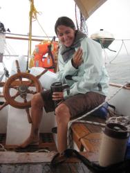 Our decision to go inside was made after countless individuals advised us to avoid going around Cape Hatteras, evidently also referred to as "the Graveyard of the Atlantic". The Gulf Stream
 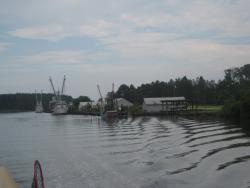 flows across the cape, and if the winds swing around from the opposite direction treacherous seas can quickly build. The weather forecast was good, but with two days of coastline and no places to duck into land we decided to build a little more experience before trying it.
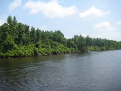 So, inside it was. One quick positive difference we noticed was the scenery, there's obviously much more to see when you're cruising along the inside. That said, you also have to pay much more attention to the charts and the water, avoiding other boats, calling ahead for bridges, and planning a place to stop and anchor for the night before it gets dark.
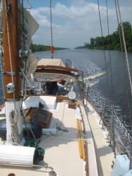 The first day was relatively uneventful. We ducked into a little river for the night, offering impressive protection from all angles. This proved a good thing when a loud thunderstorm passed overhead shortly after dark, complete with heavy rains and high winds. I did a lousy job of setting our Delta and we dragged a bit, but it was a good night to make that mistake as there was nowhere to go. That taught me that even this style of anchor can land upside down, something I would have noticed and remedied but was too eager to get downstairs for some fine smelling pasta. Lesson learned.
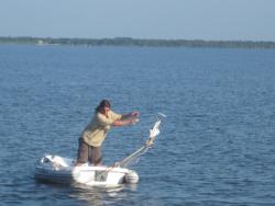 Day two in the ditch we made good distance. Late in the afternoon we made the decision to take advantage of the favorable weather to cross Albemarle Sound, a large body of water notorious for getting rough even though it's on the inside. Making our way out the end of the Alligator River at a healthy pace, I happened to glance at some electronic NOAA charts I'd downloaded recently from the Internet and noticed it labeling
 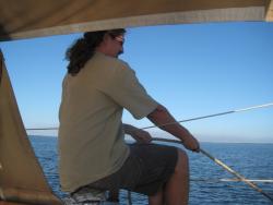 some shoaling directly in front of us that wasn't on our Garmin chart plotter. My mind was slow registering this though I instinctively backed off on the throttle, but we still drove right up on the invisible shoal at five knots with all our momentum. All the water we've seen in this area on the ditch is a dark murky brown, so the bottom is completely invisible whether it's 8 feet deep or 8 inches deep.
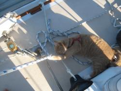 It was both a soft and a hard landing. We sunk in smoothly, though we came to a much quicker stop than we're used to with our heavy boat. Previous to this moment we'd bumped bottom a few times, but we'd always been able to power through or back off. This time we were truly high and dry. Walking from side to side the boat didn't move at all.
We dug through our library and read what the books said on "kedging off". We also placed our second call to Tow Boat US, as we seemed to be impressively stuck. They were due to arrive in 1 1/2 to 2 hours, plenty of time to try and free ourselves.
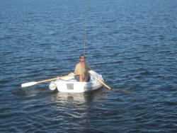 According to our books, the idea with kedging is to secure the anchor off the stern at an angle opposite the way the shaft turns. Then the goal is to alternate between pulling on the anchor and powering backwards, attempting to rock the boat off the shoal. Prior to trying this, we also moved all the full water jugs from our deck to the skiff, attempting to lighten our load a little. With a couple of tries, we were able to secure our Dansforth in the mud, but we had no luck rocking the boat in reverse.
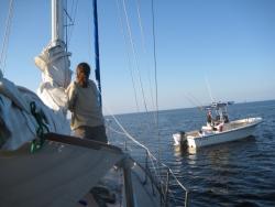 Our second attempt at kedging was to attach the anchor to the boat via our main halyard, with the aim of pulling the boat over more on its side, lifting the keel out of the mud and giving it a smaller draft. As we
 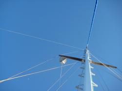 worked toward this aim, a couple of friendly local sport fisherman approached and kindly offered us a hand. We gave them a line attached to our bow cleat, then used our main block to reel in the anchor attached to our main halyard. The Dansforth held well in the mud bottom even as the anchor line began to pull nearly straight up, and eventually our boat began to lean over as planned. The fishermen throttled their boat, and moments later we were floating again. We canceled our towboat and were underway a little over an hour after we'd run aground.
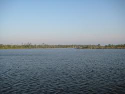 Albemarle Sound was wide enough that we didn't get to our anchorage on the other side until shortly after dark, which we knew when we set off after the grounding. We slowly approached Broad River under moonlight, on the lookout for crab pot buoys. Our book suggested
 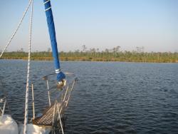 going all the way inside, but our charts didn't offer much detail and the mouth proved to offer sufficient protection. Our anchor held well that night, though we still got up every two hours to be sure.
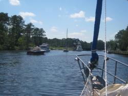 The following day left us with 65 miles to Norfolk, Virginia. We were underway by 7am, leaving plenty of time to traverse the many bridges and one lock between us and our destination. In a few
  places the canals were narrow enough and so littered with stumps that we had to slow way down, but we still made good time. For the final fifteen miles we got behind a line of power boats and another sail boat and made our way through the bridges which were timed just right for our slow hull speed.
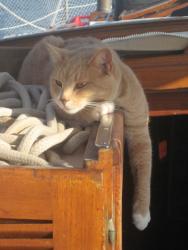
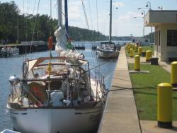 Going through our first lock proved to be somewhat anti-climatic. All the power boats swarmed to the soft rubber padded side, so we put out our bumpers and tied to the concrete side. One of the lock workers expressed frustration at the power boaters, as clearly there was enough room for everyone if they'd been a little more thoughtful and pulled together a little. It didn't much matter, the process took about fifteen minutes and the other end of the lock was opening before we new it. The closest thing to excitement was when Quixote managed to make his first landfall in months, but he didn't know what to do with his new found freedom and so was quickly back aboard.
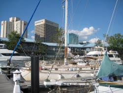 We arrived in Norfolk a couple of hours before dark, and tied up downtown at the affordable City Marina. Our first trip down the ditch was over. It wasn't as bad as I'd feared, but a lot different than sailing on the outside. We did have our sails up a couple of times when the canal was straight and the winds were at our back, but it was very much a motor trip.
We're now at the mouth of the Chesapeake, and deciding where we'll go from here. The plan had been to sail to Baltimore to visit with Bill and to allow Jamie to attend a PT conference, however studying the charts we're realizing now how much out of our way that would be. Instead, we're expecting to shoot up the outside again, with our next major stop likely to be New York City. From there we'll be a day away from Connecticut, in New England and in an area where we'll begin looking for a place to settle down for the summer. Our first major sailing trip is already coming to an end.